We’re fully into the 2025 ski season, and it’s shaping up to be one to remember. The South Island has came out firing early season, but now the North Island is now catching up with some mega snowfalls. We’ve gone into more detail below:
There is no shortage of snow
September 17, 2025. And it keeps on snowing… Storm after storm has swept across New Zealand over the last few weeks, pushing this season into standout territory. With bases super high and more snow still in the forecast, spring skiing in 2025 is shaping up to be nothing short of amazing.
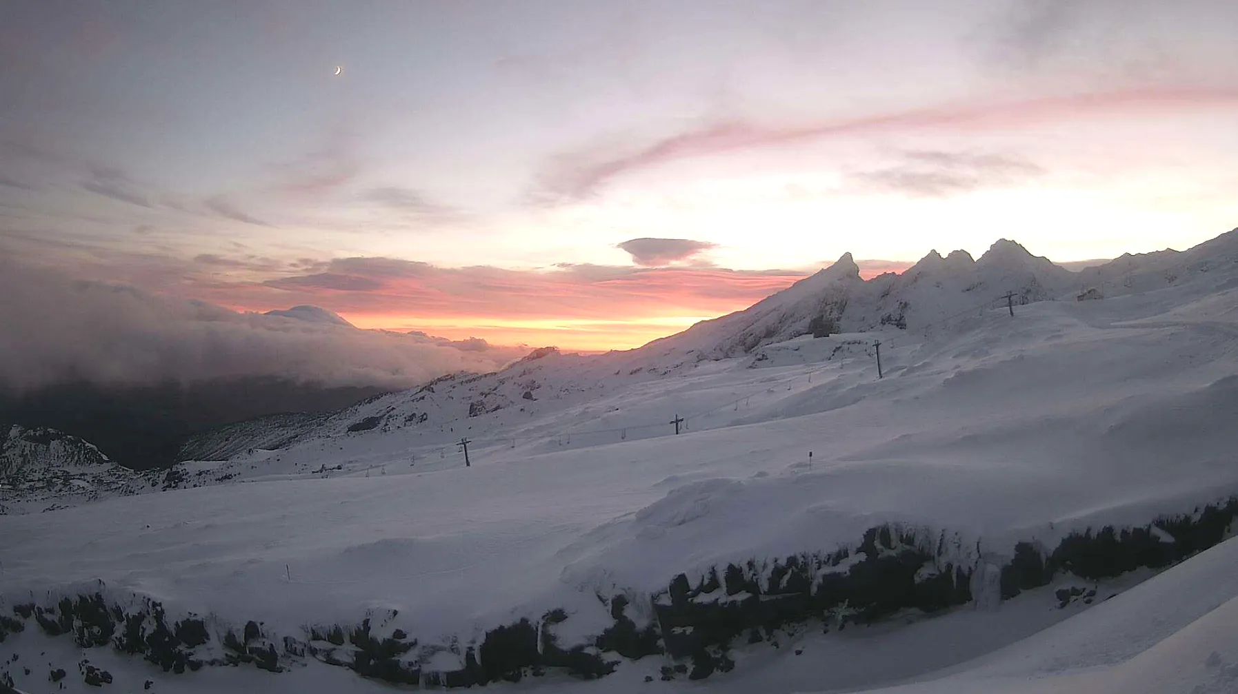
And there’s more to come. A strong front is sweeping across the South Island mid-week. The Southern Lakes are lining up for 5–15 cm, Canterbury could see 5–20 cm, and Mt Ruapehu should get snow showers. Another front rolls in Saturday night, bringing rougher weather into Sunday.
| Ski Field / Resort | Snow in Last 7 Days | Snow Base / Depth |
|---|---|---|
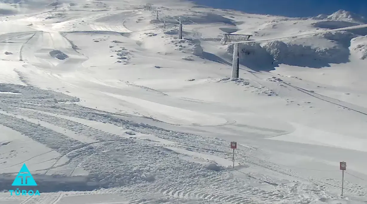
| Tūroa (Mt Ruapehu) | 40cm | Base 115cm - 175cm |
| Whakapapa (Mt Ruapehu) | 40cm | Base 93cm - 110cm |
| Mt Hutt | 1cm | Base 138 - 166cm |
| The Remarkables (Queenstown) | 51cm | Base 40 - 120 cm |
| Coronet Peak | 2-5cm | Base 40 - 120cm |
| Cardrona Alpine Resort | 29cm | Base 85cm |
| Treble Cone | 60cm | Base 112cm |
Snow arrives in force
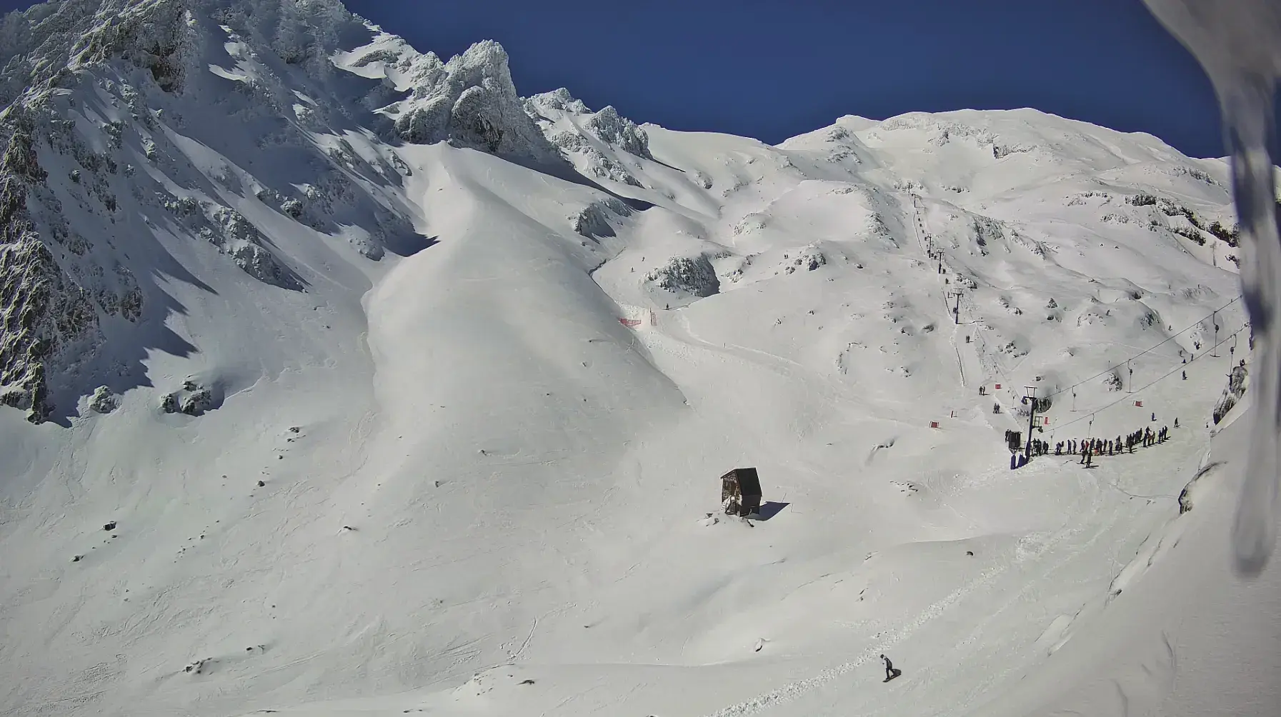
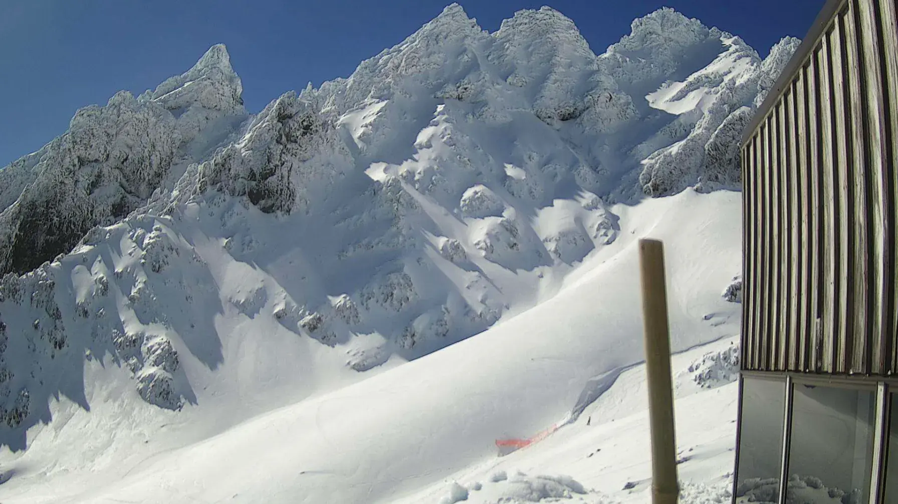
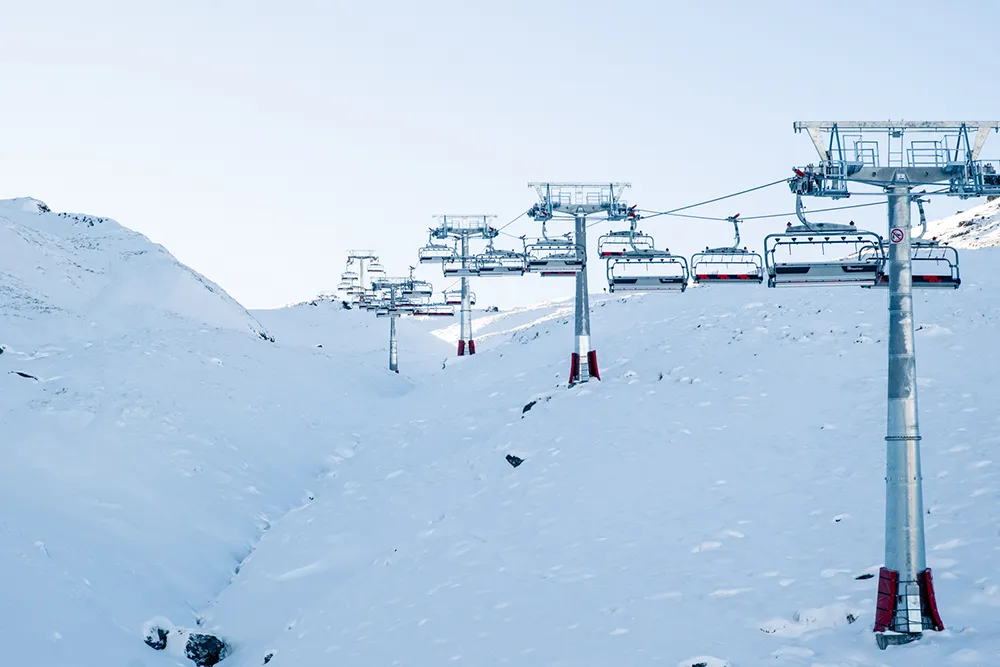
September 2, 2025. The call for snow was answered, and more is still on the way. After a wintry weekend, ski fields are buzzing thanks to a solid new layer that sets the stage for an excellent spring. On Mt Ruapehu, coverage is now strong from top to bottom (Tūroa with over 1 meter base at the top) – a huge relief after a patchy start. If the upcoming forecast delivers, things could look even better heading into mid-September.
Mt Ruapehu now stacked with snow
Late-month dump bought widespread relief
August 27-30, 2025. A cold snap swept across the country, dropping serious snow. The Remarkables measured around 25cm and Coronet Peak clocked in with 20cm, while Whakapapa and Tūroa picked up 20-30cm on the upper mountain, which was great relief to the ski fields on Mt Ruapehu, who had minimal snow cover. After a breezy week in the South, a southerly change on Sunday sealed the deal, leaving fresh powder across both islands.

Mid-August brought a mix of snow and clear skies
August 21, 2025. A southerly system added 10-25cm to most fields, with Mt Lyford and Tūroa standing out at 45-50cm. Since then, calm weather and frosty nights have made for crisp skiing conditions.
But forecasters warned it was just the calm before the storm, with a run of unsettled northwesterlies and another major snow cycle expected by the end of the month. (Forecast information via OpenSnow)
Snowfall Update - Recorded 9 August 2025
After a quieter month for snowfall – particularly in the South Island – winter has returned with a welcome boost. In the past 24 hours, most ski fields have picked up at least 10cm of fresh snow, refreshing slopes across the country.
In the South Island, Coronet Peak (15cm), The Remarkables (33cm), Cardrona (45cm), and Mt Hutt (119cm) all reported solid top-ups, adding to already strong bases and setting up a mix of soft turns and crisp corduroy for August.
For the North Island, the snowfall is even more significant. Whakapapa (25cm) and Tūroa (40cm) have been short on coverage, and the latest dump is helping open more terrain.
With colder weather patterns settling in, there’s optimism for more snow in the days ahead. Ski fields are urging visitors to check official reports for the latest conditions as grooming teams prep fresh runs for the weekend.
The South Island got off to a cracking start
Things kicked off nicely in late May with a decent snowfall, followed by another solid fall in June. And just this week, most of the major fields picked up another 10 to 15cm of fresh snow.
Coronet Peak opened with its best early-season coverage since 2022, while Mt Hutt has been getting its fair share of the snow – it’s now sitting on a base between one and 1.4 metres, which is great for this time of year. Right now, you’d have to say Mt Hutt is the place to ski.
Club fields like Porters, Roundhill, Ōhau, and Mt Dobson have all been getting in on the action too, posting snow totals and opening lifts. There’s a real excitement across the South Island at the moment – and with good reason.
The North Island is still waiting for the winter storms
It’s been a slower start on Mt Ruapehu. Tūroa and Whakapapa are open, with most of the snow is man-made for now. Warm winds and rain from a run of tropical weather systems have kept natural snowfall at bay.
But it’s not unusual. The North Island typically gets its best snow from July onwards, and spring skiing up there is often some of the best in the country. So don’t write it off just yet – things can change quickly once the weather turns.
More Cold temperatures on the way?
Looking ahead, there’s some good news in the short forecast. Colder air is expected to move in next week, with temperatures dropping across the country – especially down south. That’s great news for snowmaking and could give conditions another boost during the school holidays.
Longer term weather – well the jury is still out, Earth Science New Zealand has this to say…
All up, it’s a better start than many expected
Particularly after some early-season predictions of a slow winter. For now, the South Island is looking the goods, and the North will hopefully catch up soon.
As always, any day on the mountain is a good one, just keep an eye on the reports and make the most of it while it’s this good.