UPDATE:
Stormy weather replaces NZ’s fine spell, with fronts bringing rain, snow, sunshine, and severe gales. Ski fields gain: Treble Cone and Temple Basin 30-50+ cm, others 10-30 cm, and Mt Ruapehu up to half a metre up top.
This could be a great boost for winter! Hopefully!
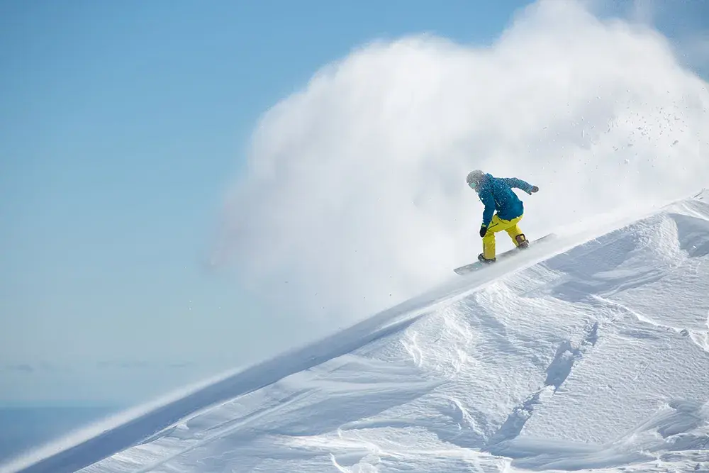
It was a weekend to remember on the slopes, with clear skies and pockets of powder lighting up ski fields across New Zealand. But if you thought that was winter’s final word, think again – the weather is about to shift.
From Wednesday, a storm cycle is expected to move in. Strong northwesterly winds may bring cloud, gales, and heavy rain, with snow possible at mid to high elevations in the Southern Lakes and Canterbury.
By Friday, colder air is forecast to push through, which could lower the snowline to base level in the Southern Lakes. Mt Hutt might also see a dusting of snow as conditions ease, while Mt Ruapehu is likely to ride out rain before the chance of a late-week top-up. Fingers crossed!
Looking ahead, the unsettled weather is likely to continue into early next week – but once skies clear, skiers and riders may be rewarded with a fresh blanket of powder.
Forecast supplied by