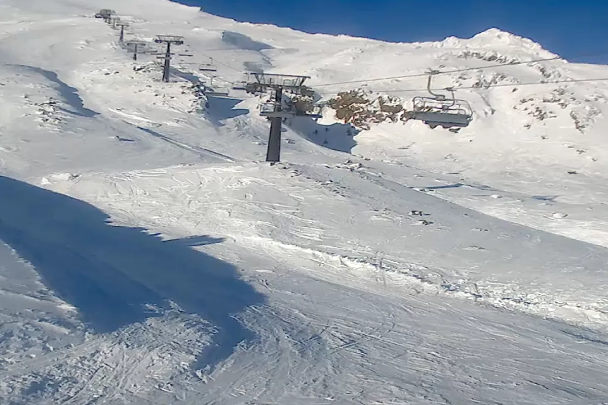
21 August 2025 – Tūroa has stacked up some serious snow over the last week from the storm, with 50cm falling in the last 7 days, including 3cm in the past 24 hours. The snow base now sits at 90cm on the Alpine Meadow and over 1.25 metres at the top of the Giant Chair.
It’s officially go time.
The snow is on, the coverage is deep, and the weekend forecast is looking mint (fine and cloudy for the next 3 days) Click here for the weather report – so if you’ve been waiting for the right moment, this is it.
Weather Outlook: Calm Now, Storms Coming
A recent southerly blast delivered a fresh hit of snow across the country, with 10–25cm falling widely and Mt Lyford and Tūroa scoring 45–50cm. For now, the South Island is enjoying a settled run of clear days, light winds, and frosty nights through to Monday.
From Tuesday, conditions shift as northwesterlies bring high cloud and unsettled weather, marking the end of the calm spell.
Looking further ahead, a storm cycle is expected from mid-next week into early September, bringing heavy snowfalls, strong winds, and variable snow levels — a potential late-season boost for ski fields across the country.
Weather information from Opensnow

